
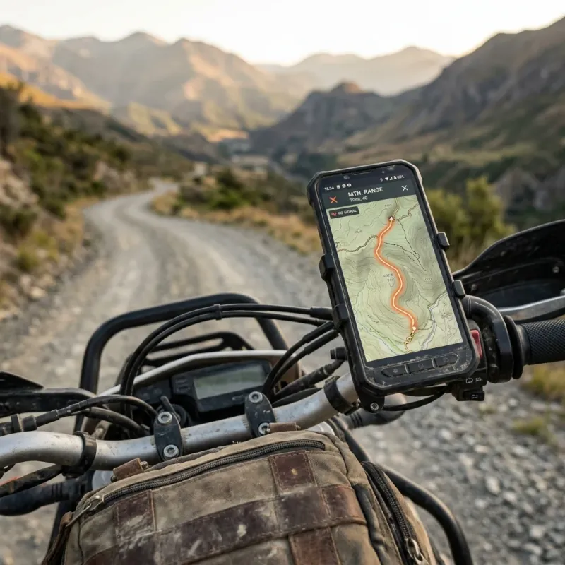
There’s a reliable rule in adventure riding: the quality of the road is inversely proportional to the strength of your phone signal. The gravel climbs, the high passes, the coastal tracks that make a trip worth taking — they all live precisely where the coverage map goes grey. On routes like the Trans Euro Trail or the Turkish TET, you can ride for hours with no data at all.
Which means the single most important feature of a motorcycle navigation app isn’t the routing algorithm, the social feed or the lean-angle stats. It’s a boring question with an expensive answer if you get it wrong: does it still work when the internet doesn’t?
The honest answer varies wildly between apps — and between the free and paid tiers of the same app. For this guide we went through the official documentation and pricing pages of every major contender and compared what “offline” actually includes at each level. No affiliate relationship with any app on this list; where a price couldn’t be verified from an official source, we say so rather than guessing.
Why “Offline” Is the Feature That Decides Everything
A navigation app that needs data is a city app. Adventure riding breaks it in three predictable ways:
- No coverage. Mountain passes, forest tracks, remote coastlines and border regions are exactly where turn-by-turn matters most and bars-of-signal matter least.
- Roaming costs. Cross three Balkan borders in a day with online navigation streaming maps and you’ll feel it on the bill. Offline maps downloaded at home over Wi-Fi cost nothing.
- Battery. A phone hunting for signal while streaming map tiles drains dramatically faster than one navigating from local storage — a real problem when you’re managing power off the bike for days at a time.
The catch: almost every app advertises “offline maps” somewhere on its store page. What differs is whether offline comes free or paid, whether it includes topographic detail, and whether the app can follow a GPX track without a connection. That’s what the rest of this guide sorts out.
Why Google Maps Isn’t Enough
Google Maps deserves a fair hearing, because it’s what most riders start with — and its offline mode is genuinely useful as a fallback. But Google’s own support documentation is clear about the limits:
| Google Maps offline | The reality |
|---|---|
| Directions | Driving only — no bicycling, walking or transit routing offline |
| Traffic & alternates | Not available offline — one route, no live rerouting around problems |
| Map expiry | Offline maps expire; auto-update is attempted over Wi-Fi when ≤15 days remain |
| Coverage | Offline downloads unavailable in some countries due to contractual limitations |
| GPX files | No native import — you cannot follow a planned track |
| Motorcycle routing | None in most regions — no curvy-road preference, no unpaved awareness |
For a day ride in covered territory, fine. For a two-week tour through the mountains, it’s the navigation equivalent of street tyres on a gravel pass. Everything below does the job properly.
The 7 Best Offline Navigation Apps Compared
| App | Platforms | Offline maps | Verified pricing | Best for |
|---|---|---|---|---|
| DMD2 | Android | Free — worldwide topo | Core free; premium €25 + tax/year | Off-road, GPX, rally-style riding |
| OsmAnd | Android, iOS | Free (7 regions) | Maps+ $14.99/yr or $69.99 lifetime; Pro $39.99/yr (Android) | All-round offline touring |
| Kurviger | Android, iOS, web | Tourer+ tier only | Free / Tourer / Tourer+ — pricing shown in-app | Curvy-road planning in Europe |
| calimoto | Android, iOS | Premium only | €9.99/week in-app; annual via website | Social twisty riding |
| Scenic | iOS, Android | Included free | Premium from $4.99/month billed annually | iOS-first tourers |
| REVER | iOS, Android | Pro only | $39.99/yr (50%-off sale price at research time) | Community rides, ADV planning |
| Organic Maps | Android, iOS | Free — unlimited | Free, open source | Zero-cost backup for everyone |
1. DMD2 — Best for Off-Road and GPX Navigation (Android)
DMD2 started life as Drive Mode Dashboard, and its ambition is bigger than navigation: it turns an Android phone or tablet into a complete motorcycle dashboard, optionally replacing the home screen entirely as a launcher. The developer’s focus is stated plainly — adventure and off-road, gloves-on usability, minimal taps.
What makes it remarkable for this list is the pricing structure. The core app is free, and that includes worldwide downloadable offline topographic maps — the thing most competitors charge for. The paid subscription (per the official documentation: €15 + tax for 6 months or €25 + tax per year) adds satellite imagery, weather layers, country-specific topo maps, speed-camera warnings, Google Places search, group ride tracking, cloud sync and remote-controller support. Extras, not fundamentals.
The GPX toolset is the deepest of any app here: real-time track and route progress, waypoint navigation, track recording, automatic POI loading along a track, and three routing profiles — Road Fast, Road Fun and Off-Road. There’s also a PDF roadbook reader for rally-style events, plus OBD2 and tyre-pressure (TPMS) sensor integration if you want engine data on the same screen.
The one hard limit: Android only. The developer’s iOS app, DMD HUB, is a separate companion product — not DMD2. iPhone riders should look at OsmAnd or Scenic instead.
Best for: Android riders following GPX tracks off-road — TET riders, rally fans, anyone who wants a dashboard rather than just a map.
2. OsmAnd — Best All-Round Offline Navigation
OsmAnd has been the reference offline app for over a decade, and it remains the most complete: OpenStreetMap-based maps for the entire planet, full offline routing and turn-by-turn, contour lines and terrain data, and excellent GPX import, recording and following. OSM data is a genuine advantage in remote regions — small tracks and trails often appear on OSM long before commercial maps notice them.
The pricing (verified from OsmAnd’s official Android documentation) is refreshingly sane. The free version includes offline navigation and trip recording, limited to 7 map downloads — a “download” being a country or region map, which comfortably covers a single-country trip. Maps+ removes the limit and adds topography, 3D relief and Android Auto for $14.99/year, $5.99/month, or a $69.99 one-time lifetime purchase — the only lifetime option among the big apps. OsmAnd Pro ($39.99/year) adds hourly live map updates, the weather plugin and cloud sync. iOS pricing differs slightly.
The trade-off is the learning curve. OsmAnd is an instrument panel, not a toy — plugins, profiles, rendering options and menus several layers deep. Riders who invest an evening in setup get the most capable offline tool on either platform; riders who want to tap and go may bounce off it.
Best for: riders on any platform who want maximum offline capability and map detail, and don’t mind earning it.
3. Kurviger — Best for Curvy-Road Touring in Europe
Kurviger is a German app built around one idea: the fastest route is the worst route. Its routing engine generates deliberately twisty rides, and its planning workflow is the best in class — a full web planner at kurviger.com syncs with the phone app through a single account, so you plan a tour on a big screen at home and ride it from your handlebars.
The tier structure (verified from the official Kurviger documentation): the free tier plans routes and round-trips up to 300 km (185 miles) with 3 map overlays. Tourer extends round-trips to 600 km (375 miles) and 15 overlays, adds avoidance of current road closures, adjustable avoidance strength and per-section curvature control — for riders who plan meticulously but navigate elsewhere. Tourer+ is the tier that matters for this list: it adds voice-guided navigation in the app, offline map downloads and ride recording. There’s a 7-day trial; Kurviger publishes current subscription prices in the app and on its website rather than on a static page, so check there for your region.
Best for: European tarmac tourers who treat route-planning as half the fun and want closures handled automatically.
4. calimoto — Best for Social Twisty Riding
calimoto is the most consumer-polished app on this list, with a claimed community of over a million riders and a routing algorithm dedicated to finding “twisties” worldwide. Ride tracking with speed, elevation and lean-angle stats, route sharing and synchronized group rides make it as much a social platform as a navigation tool.
For adventure riders the free/paid split is the decisive detail: the free tier covers worldwide twisty-route planning, ride import and POIs — but offline maps, turn-by-turn navigation with voice, GPX/KML/ITN export, Android Auto/CarPlay and group-ride sync are all Premium-only. As a pure offline navigation tool, free calimoto effectively doesn’t exist. Verified pricing is thinner than we’d like: the in-app weekly plan is €9.99/week, while the annual plan is sold through calimoto’s website with regional pricing — there’s a 14-day Premium trial to test it properly before committing.
Best for: riders whose priority is beautiful tarmac and a social riding life, and who are happy paying a subscription for the full experience.
5. Scenic — Best iOS-First Option
Scenic began as an iOS-only motorcycle navigation app and it still feels most at home there, though an Android version is available on Google Play. Its calling card for this list is generosity at the free tier: the Standard (free) version includes offline maps, route planning, a public routes database, dirt-road visualization and ride recording — the most usable free offline package of any commercial motorcycle app here.
Premium unlocks turn-by-turn navigation with voice, satellite map layers and the rest of the power features, priced from $4.99/month when billed annually (monthly and quarterly plans exist; Scenic notes prices vary by region through the app stores). There’s a free trial for newcomers.
Best for: iPhone riders who want motorcycle-specific navigation without the OsmAnd learning curve — and anyone who wants real offline maps without paying first.
6. REVER — Best for Community and ADV Trip Planning
REVER is the big North American community app: route discovery, challenges, friend tracking and a feed of rides. The free tier is a solid tracker — discover routes, record rides and stats, import GPX files, see friends on the map.
Navigation is where the paywall sits. Offline maps and routes, turn-by-turn directions, GPX export, twisty routing, weather alerts and the ADV Planner are all Pro-only, along with Butler Maps’ road recommendations — a respected name for curated riding roads. At the time of research REVER Pro was listed at $39.99/year under a 50%-off “Summer Sale” (implying a regular price around $80/year), with a two-week free trial.
Best for: riders in the REVER community orbit — group challenges, North American routes, Butler Maps fans — who’ll use the Pro tier for more than just offline maps.
7. Organic Maps — Best Free Backup for Every Rider
Organic Maps is not a motorcycle app, and that’s fine — it earns its slot as the app every rider should have installed regardless of what else they run. It’s completely free and open source (Apache 2.0), with no ads, no tracking and no registration, built on OpenStreetMap data with unlimited offline downloads. The project’s own pitch is the adventure-rider use case verbatim: “download maps, throw away your SIM card, and go for a weeklong trip.”
You get offline turn-by-turn with voice guidance, contour lines and elevation profiles, KML/GPX import, and a tiny battery footprint. What you don’t get: live traffic, motorcycle-specific routing profiles, or any curvy-road logic. It navigates; it doesn’t entertain.
Best for: everyone, as the free insurance policy on the phone — and budget riders who’d rather spend the subscription money on fuel.
Which App Should You Actually Install?
- Off-road ADV or TET rider on Android → DMD2, with OsmAnd as the second app for its map detail. Both free at the level that matters.
- iPhone rider heading somewhere remote → OsmAnd for capability, Scenic for usability. Install Organic Maps as backup.
- European tarmac tourer chasing passes → Kurviger Tourer+ for the planning workflow, or calimoto Premium if the social layer appeals.
- North American community rider → REVER Pro, especially for Butler Maps recommendations.
- Zero budget → Organic Maps + OsmAnd free tier. Genuinely free offline navigation across both, no trial expiry tricks.
Two-app setups are normal among adventure riders: one curvy-routing app for the good tarmac days, one OSM-based topo app for everything unpaved. Storage is cheap; being lost isn’t.
Set It Up Before You Leave — Not at the Trailhead
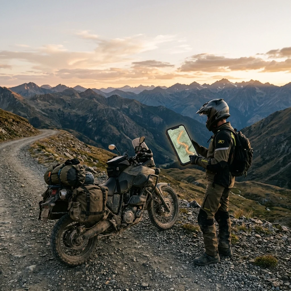
Whichever app wins your handlebars, the offline part only works if you prepare it:
- Download maps at home over Wi-Fi. Country-sized map files are hundreds of megabytes. The worst place to discover this is a campsite with one bar of 3G.
- Test GPX import before the trip. Load your planned track, check the app follows it in airplane mode, and carry the GPX files locally — not in an email attachment you can’t open offline.
- Sort the mount. A navigation phone is only as good as what holds it — see our guide to the best motorcycle phone mounts, including why vibration damping isn’t optional on big singles and twins.
- Sort the power. Navigation with the screen on all day will flatten any phone. Hardwired charging or a serious power bank is part of the navigation system — our motorcycle camping power guide covers the options.
- Airplane-mode test ride. One local ride with data off tells you more about your setup than any review. If the app breaks, better to learn it 10 km (6.2 miles) from home.
When an App Isn’t Enough
There’s a final honest caveat. A phone running the right app covers most riders in most conditions — but phones still have physics problems on a motorcycle: OLED screens washing out in direct summer sun, batteries sagging in the cold, and engine vibration that can damage phone cameras on rigid mounts. If you tour hard in all weather, a dedicated unit like the Garmin Zumo XT2 or XT3, with a glove-friendly screen and power from the bike, is still the tool that doesn’t overheat, run flat or lose its camera. We’ve compared the two approaches head-to-head in our Garmin Zumo XT2 vs phone navigation guide, which also covers the unit itself.
Disclosure: some links below are affiliate links. If you buy through them we may earn a small commission at no extra cost to you.
Check Garmin Zumo XT2 Price on Amazon →
Related Guides
Navigation is one leg of the trip-planning tripod. For the full framework — budget, documents, route logistics — start with long-distance trip planning checklist. If your riding leans unpaved, the Trans Euro Trail beginner guide is where GPX navigation stops being theoretical.
The short version: offline capability is no longer a premium luxury — DMD2, OsmAnd, Scenic and Organic Maps all put real offline maps in your hands for free, and the paid tiers are about convenience, not survival. Pick the app that matches how you ride, download the maps before you leave, and let the signal bars do whatever they want.
Disclosure: Some links in this article are affiliate links. If you buy gear through them, we may earn a small commission at no extra cost to you. We have no affiliate relationship with any navigation app in this guide.
A note on the prices: these are indicative figures as of July 2026, not live quotes. Hardware prices and subscription tiers both change, and plans differ by region — check the provider’s own current pricing page before you commit.
Frequently Asked Questions
What is the best free offline navigation app for motorcycle riders?
For pure zero-cost offline navigation, Organic Maps is the standout: completely free, open source, no ads or tracking, unlimited OpenStreetMap-based offline maps, voice turn-by-turn and GPX/KML import. If you want more rider-oriented depth, OsmAnd's free tier includes full offline navigation and trip recording with a 7-region map download limit — enough for most single-country trips. And on Android, the core DMD2 app is free, including its worldwide downloadable topographic maps; the paid subscription only adds extras like satellite imagery, weather layers and group rides.
Does Google Maps work offline for motorcycle touring?
Only partially, and the gaps matter for touring. Google's own documentation confirms that offline areas give you driving directions only — no traffic, no alternate routes — and offline maps expire, with automatic re-download attempted over Wi-Fi when 15 days or less remain. Offline downloads are also unavailable in some countries entirely due to contractual limits. There is no GPX import and no motorcycle-specific routing. It works as an emergency fallback in a covered region, but it is not a touring tool.
Is DMD2 available on iPhone?
No. DMD2 itself is Android-only — it's designed to run as a full dashboard, even replacing your home screen as a launcher, which iOS doesn't allow. The developer offers a separate iOS app called DMD HUB, but that is a companion app, not the DMD2 navigation experience. If you're on iPhone and want serious offline adventure navigation, OsmAnd and Scenic are the strongest options.
Kurviger vs calimoto — which is better for twisty roads?
Both are built around curvy routing, so it comes down to workflow and what you get offline. Kurviger's strength is planning depth: the web planner syncs with the app through one account, the Tourer tier adds per-section curvature control and avoidance of current road closures, and the Tourer+ tier adds voice navigation and offline maps. calimoto is more polished as a phone-first social riding app — but offline maps, turn-by-turn navigation and GPX export all sit behind its Premium subscription, while its free tier is limited to planning and tracking. Serious route-planners tend toward Kurviger; ride-and-share riders tend toward calimoto.
Do I still need a dedicated motorcycle GPS if I use these apps?
For most riders, a phone with a proper offline app, a solid mount with vibration damping and reliable charging covers most touring. A dedicated unit like the Garmin Zumo XT2 or its 2026 successor, the XT3, still wins in specific conditions apps can't fix: a phone overheating and dimming in summer sun, gloves in the cold and wet, battery drain, and the risk of handlebar vibration damaging your phone's camera. If you tour hard, ride remote in all weather, or have already cracked a phone doing this, the dedicated GPS argument is still alive — we compare the two approaches in detail in our Zumo XT2 vs phone guide.